We just rolled out our latest release. The biggest upgrades are around our mapping tools. Here is a rundown of what you can do.
If you don’t already have a WellDatabase account, create on here. It’s free to get started.
Colorize Everything
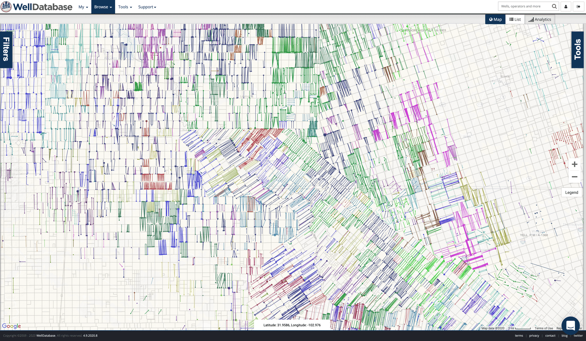
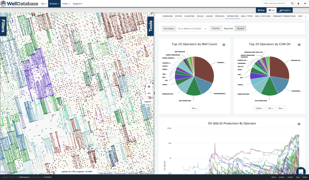
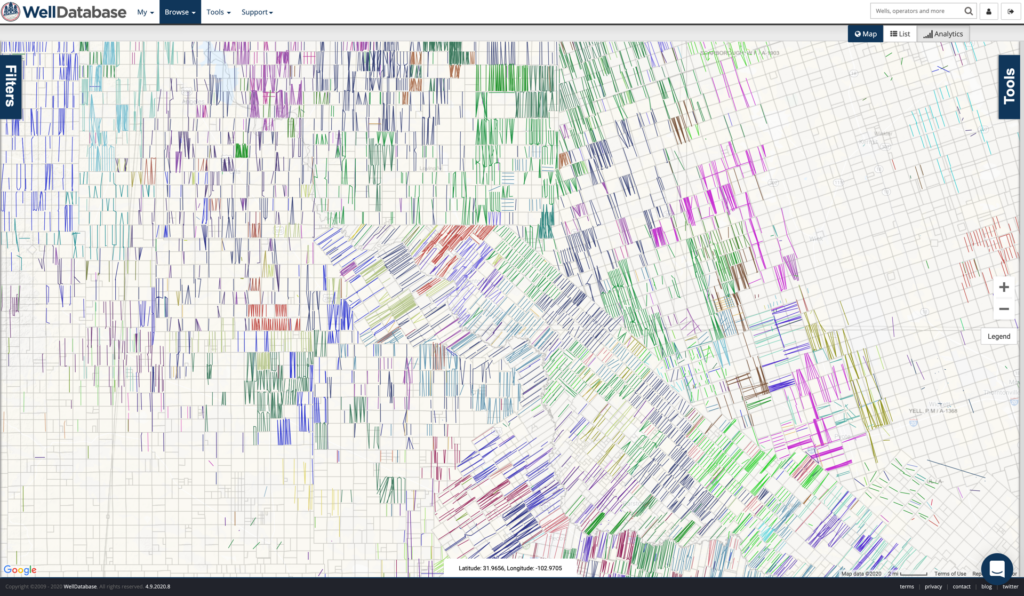
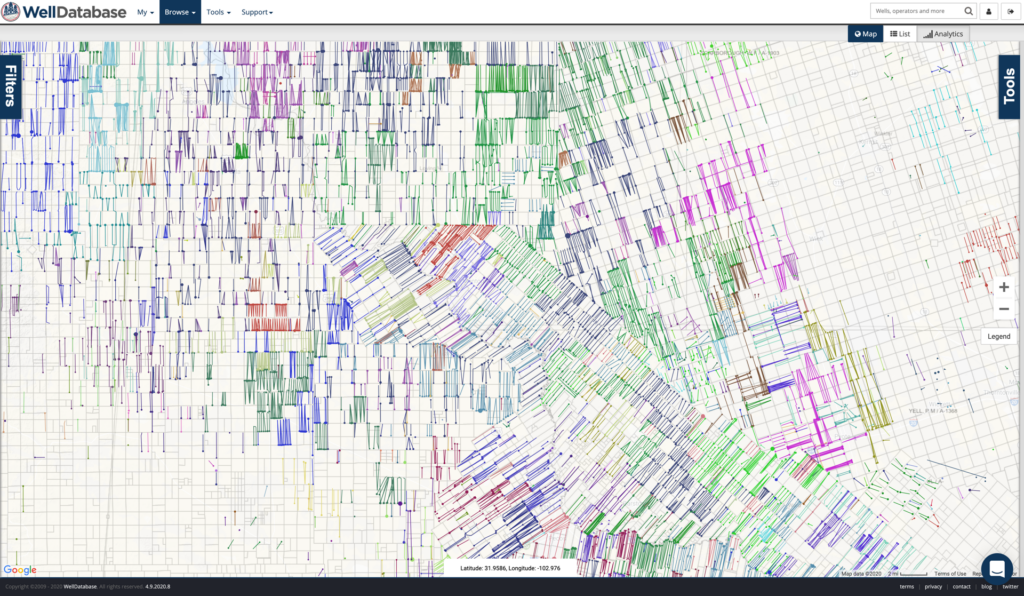
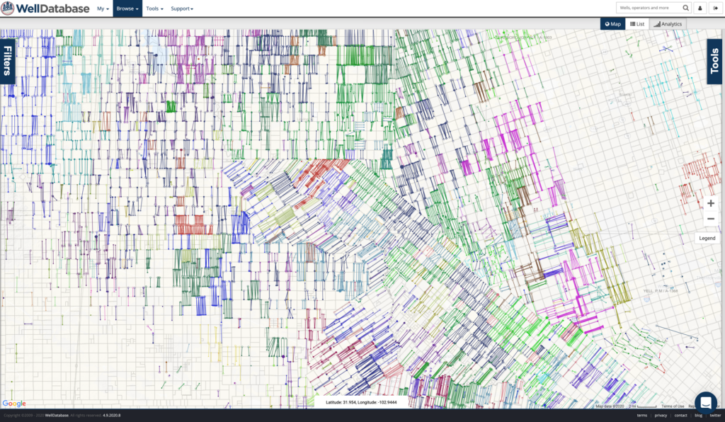
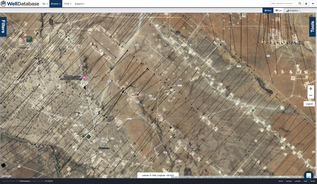
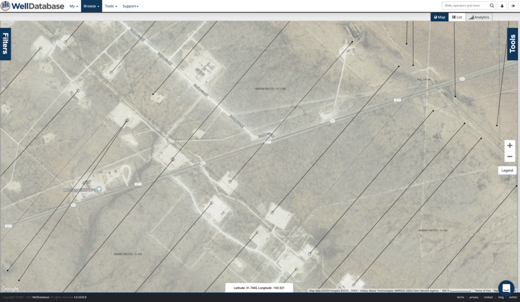
You can now choose to color the surface hole, bottom hole, and trajectory. You can choose any combination of color options to create the exact map you need. Below are a few examples.
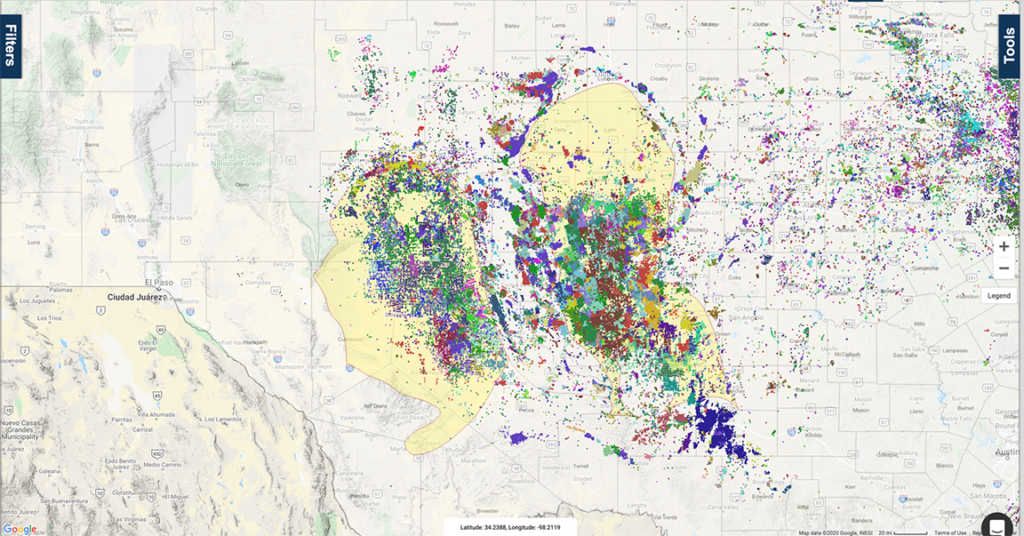
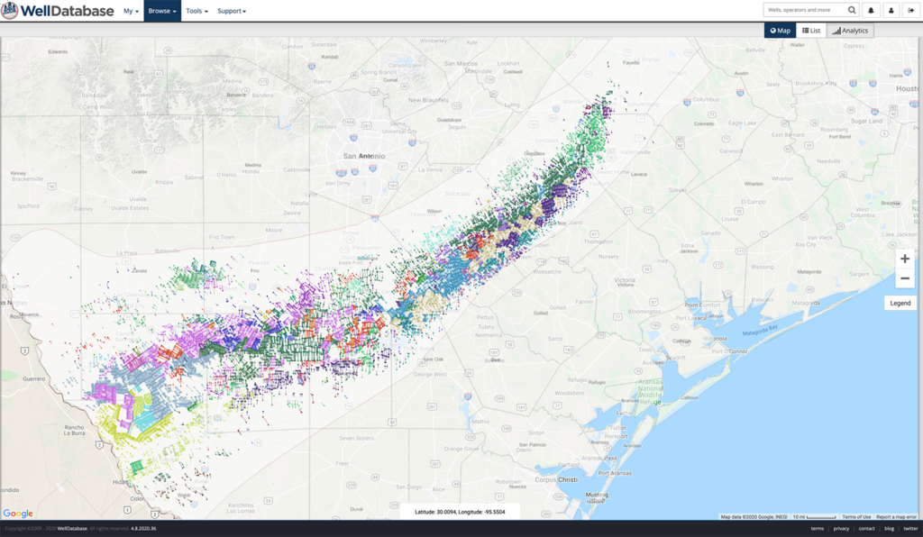
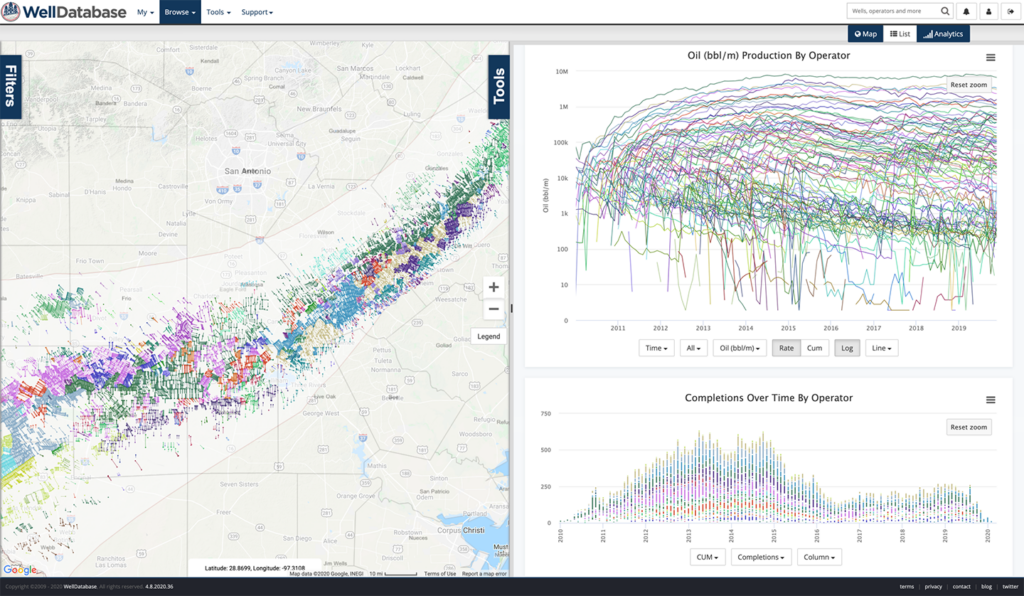
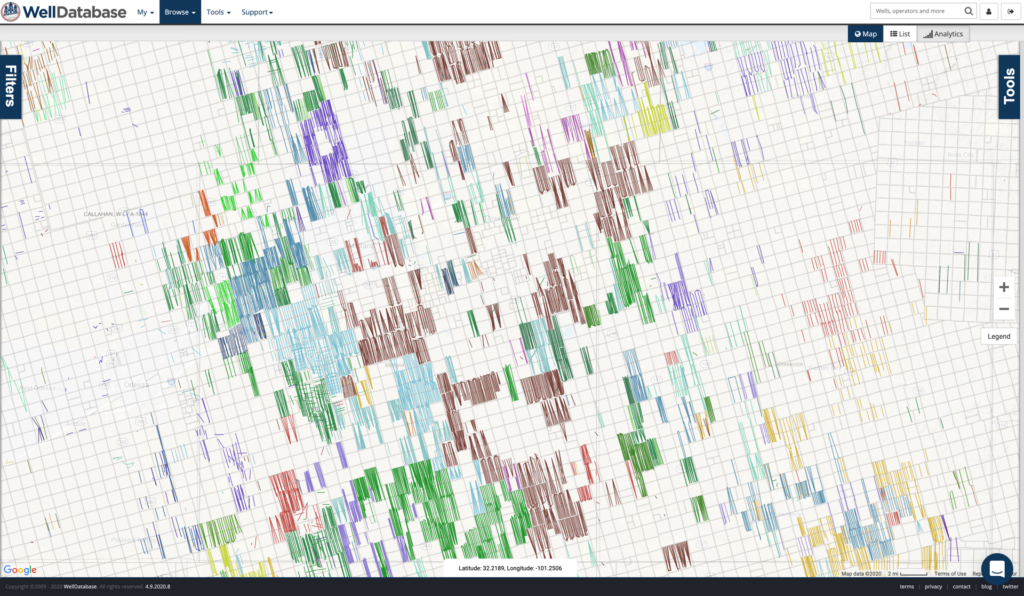
Customize Your View
Along with colorizing, you can size the surface hole, bottom hole, and lateral by a number of properties. Along with the customization of which spots are visible, you can get a very customized view. Here are just a handful of samples
WDB Search Layers
Search layers let you “pin” searches on the map. These layers become an inactive or almost a background layer. By that I mean that these wells are visible on your map, but not included in your production. Below we have Anadarko/Oxy wells in the area as our active search. Beside that we have an WDB search layer of nearby Shell wells (in red). On top of that, we have highlighted the Shell wells that came online in the past year with a blue outline. We have set these layers to have more transparency so that it is more clear that they are not our active wells.
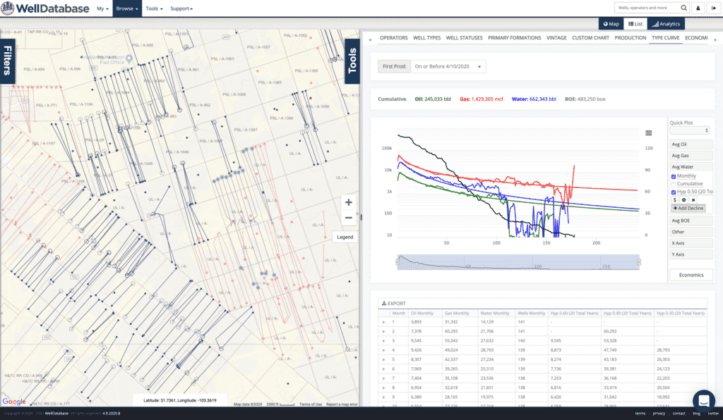
These layers are the foundation of an entire new way of working with data in WellDatabase. You will see many updates with this functionality coming very soon. Currently WDB Search Layers are only available in the Pro package. We’ll be evaluating adding it to other packages very soon.
To learn more about this and other great features in WellDatabase, visit our support site – support.welldatabase.com.
We’re very proud of this release and the functionality we’ve added. We’re only getting started though. Be on the lookout for tons of new features coming very soon.

Transitioning to Version 23.1
We are always looking for ways to increase our users experience and add more functionality, without increasing pricing. WellDatabase 23.1 is packed...
WellDatabase + Hunter Technology
WellDatabase is proud to announce a new partnership with Hunter Technology.
