 John Ferrell
1 min read
WellDatabase + Oilfield Basics
 Tom Heitzman : Jun 30, 2020, 2:53:03 AM
We’re proud to announce our partnership with Oilfield Basics.


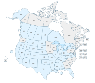
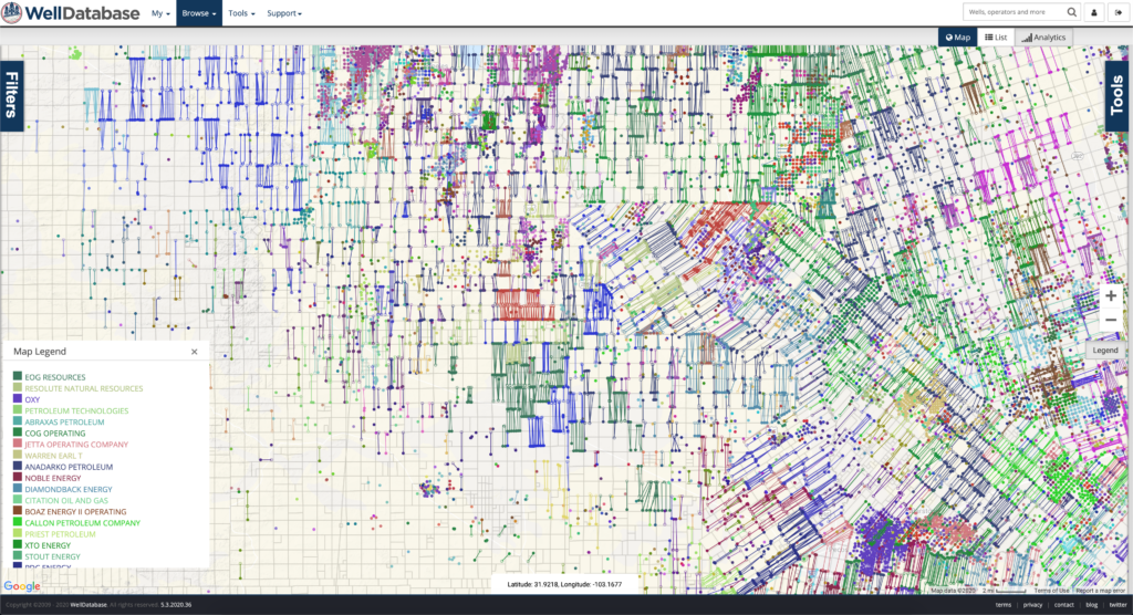
The industry didn't start with unconventionals and neither does our data. We cover the full historical dataset across every producing state and province. Don't settle for inferior data, check out our coverage for any state or province you're interested in.
We rolled out our WellDatabase Lite package a few months ago. The most common question we have gotten is, “What do we get with WellDatabase Lite?”. So for this post, we’re going to walk through exactly what you get for the big price of zero.
Before we dive in, let me take a second to talk about what we were trying to accomplish with our Lite package. Our primary goal is to make data more open and accessible for everyone. The way we see it, this data is public data and the public should have adequate access. The state sites do not quite fit that in our opinion. Bottom line, we hope that nobody has to go to a state site to access data ever again.
Ok, let’s dig in.
Finding wells in any system can be challenging. A few examples of the filters available:
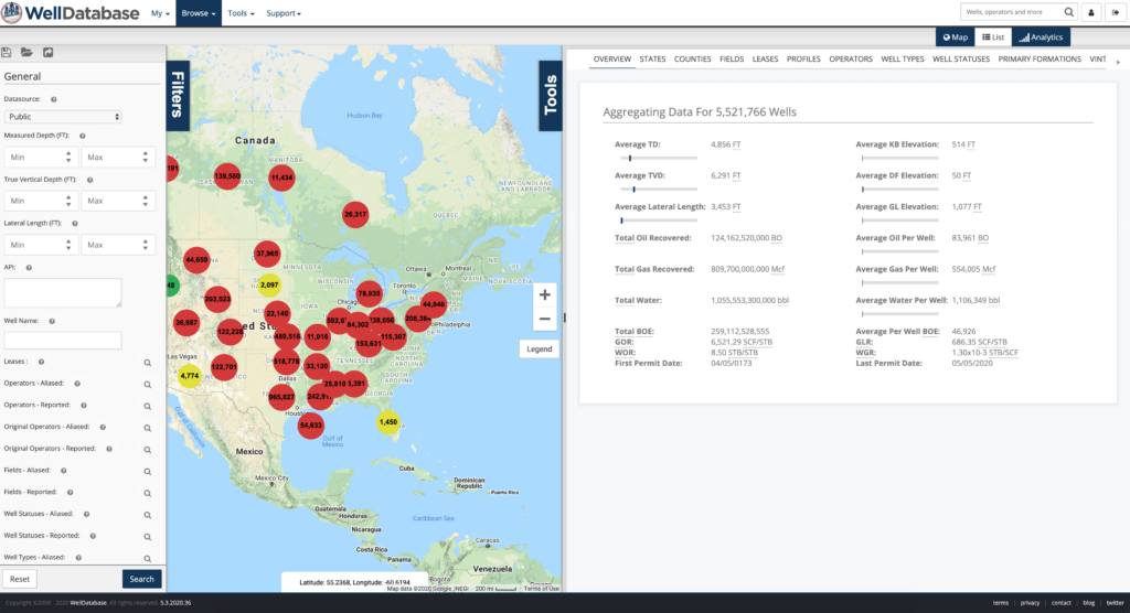
Even better than that, all you need to do to get started is zoom in. Your map view works as a filter.
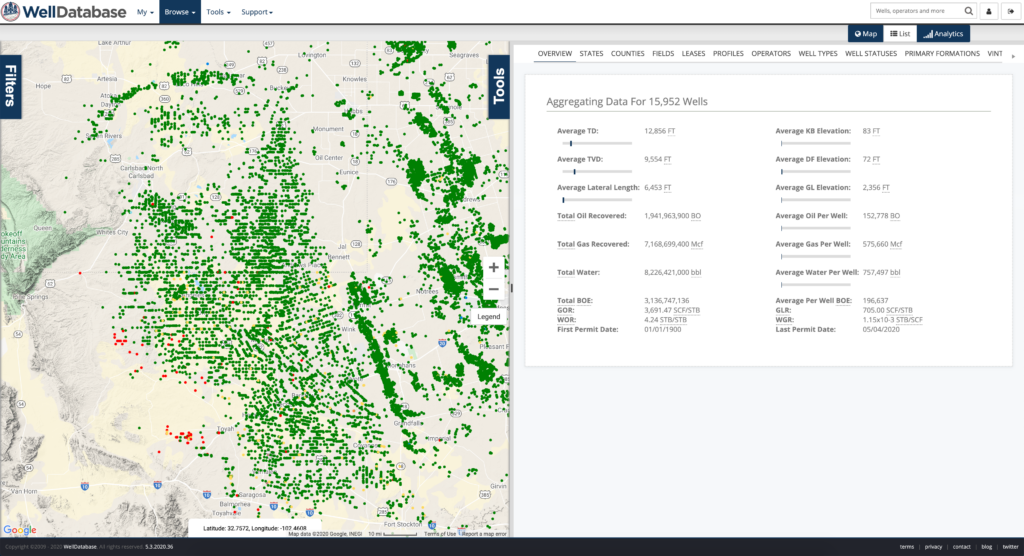
While technically a mapping feature, map layers are included in WellDatabase Lite. You can layer on counties, land grids, and more. This always helps you get your bearings when searching for wells on the map.
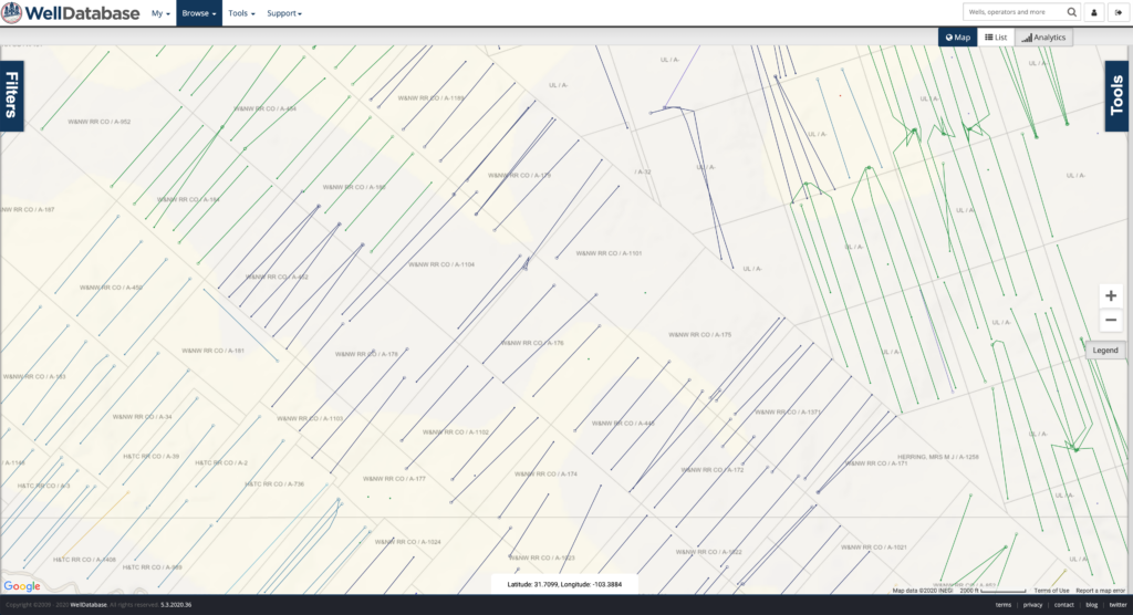
Mapping in the WellDatabase Lite plan offers much more functionality than any other public data system. Here are few quick maps you can make.
Expand the map Tools panel to change your map settings. Here you can change the base map, add overlays, and customize your lateral, surface hole and bottom hole look.
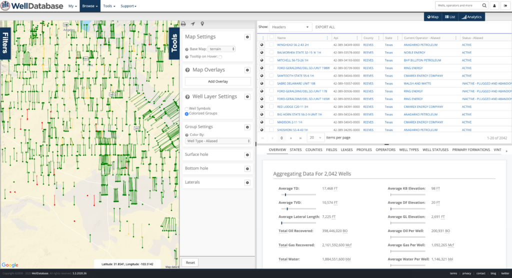
Hide away the List and Analytics and we can make a very nice map.
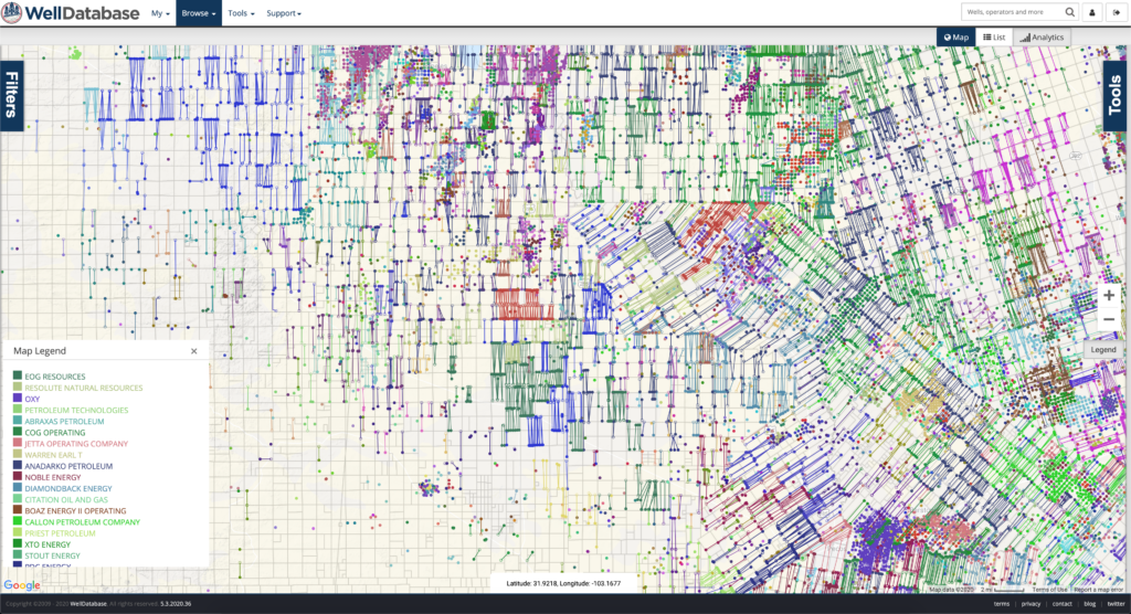
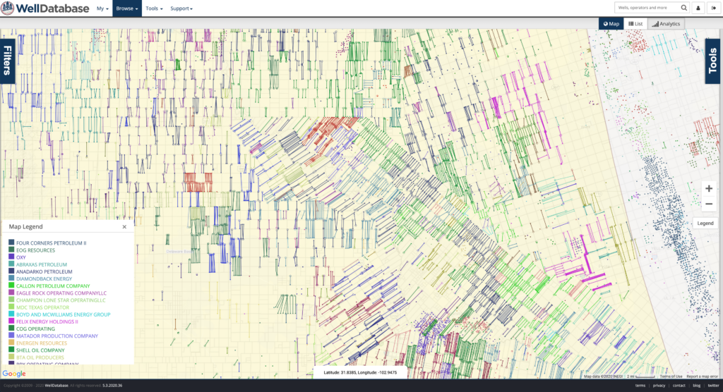
Zoom in tighter and see just how much space is filled or where drilling opportunities still exist.
Want to see roads, pads, and more? Flip on the Satellite base layer and see exactly how everything lays out.
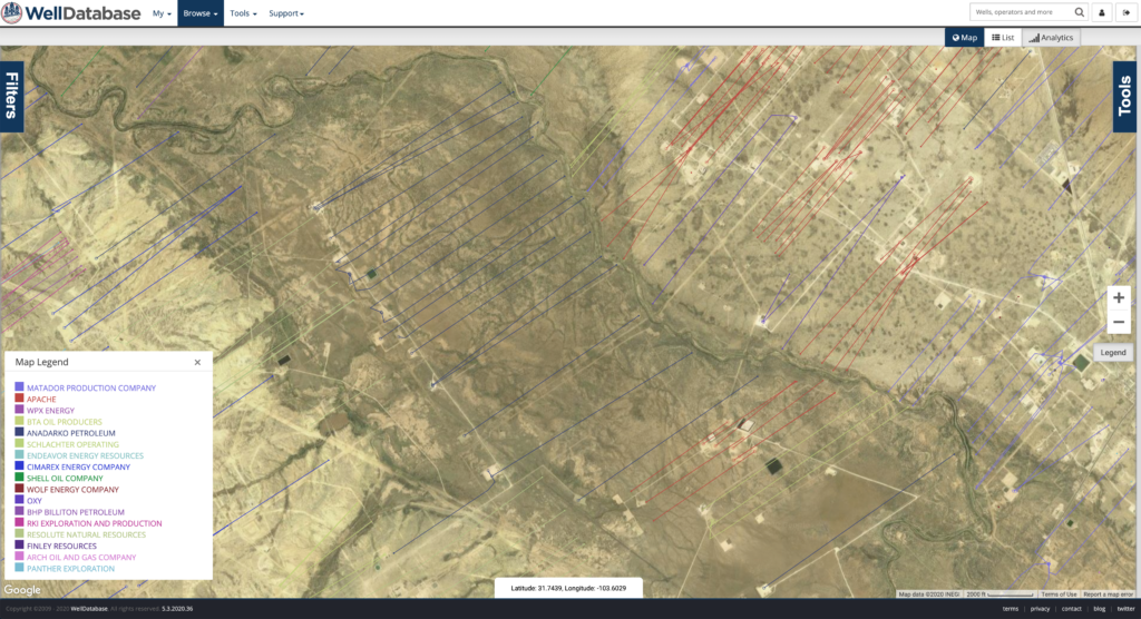
Trajectories are even drawn with detail. We show the surface, kick-off, heel, and toe (bottom hole) on the laterals. This lets you understand the spacing of the wells at a glance.
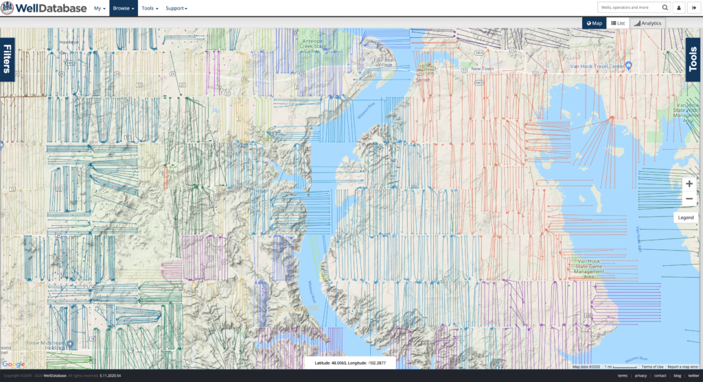
A public data platform is nothing without the data. You also shouldn’t have to waste hours trying to find all the pieces and put them together. Here’s a look at the data that was included when we introduced WellDatabase Lite.
Same image as above. Just wanted to highlight the well list to the right. This list contains all the wells in your current view. It’s the easiest way to identify the wells you are looking at.
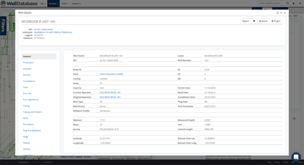
Clicking on the well name in the list or on a spot on the map gives you the well detail screen. Here’s a glance and the types of data you get with the WellDatabase Lite package.
First is the General page. Well names, API, dates, depths, operators, locations and more.
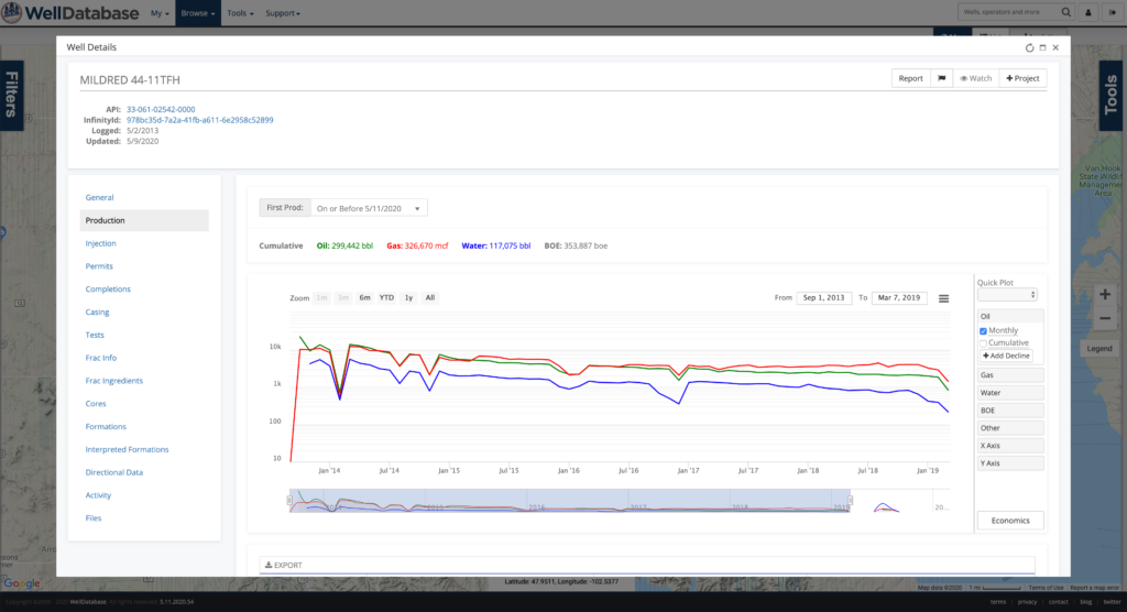
Monthly production data. Even a pretty plot.
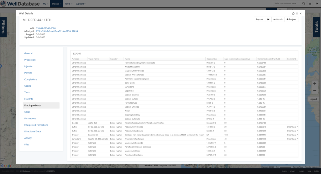
Need frac data? No need to bounce over to Frac Focus. We have their entire dataset integrated into WellDatabase.
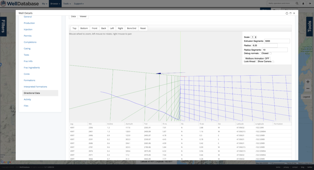
Even directional surveys are available…and a nifty 3D viewer for the well trajectory.
It’s understandable if you’re leery about WellDatabase Lite. What’s the saying about a free lunch? No need to worry though, we do make money at WellDatabase. We have a number of pay plans that add tools, analytics, and advanced datasets.
Read more about our Essential, Plus, and Pro accounts if you want to learn more.
The WellDatabase Lite plan is just the first step in a bigger plan to change how you use and interact with data. Lite is designed to provide light access to the WellDatabase platform, giving you an easier way to search, explore, and view public well data without having to navigate individual state sites. For users who need broader access and additional tools for their regular workflows, our paid plans provide expanded functionality.
For today though, enjoy exploring public data for free.
1 min read
Tom Heitzman : Jun 30, 2020, 2:53:03 AM
We’re proud to announce our partnership with Oilfield Basics.
1 min read
Tom Heitzman : May 12, 2022, 3:16:13 AM
WellDatabase and NuTech Energy Alliance, LTD are proud to announce the allignment of their platforms to combine the best interpreted subsurface...
1 min read
Tom Heitzman : Aug 18, 2021, 7:09:57 AM
We’re excited to start working with the team at Funk Futures. We believe our software gives the industry the better data option it deservers with...