At WellDatabase, we’re always pushing the boundaries to provide better tools for our users. Our latest update introduces an advanced way to export shape files, enhancing GIS capabilities for those working with complex spatial data.
Introducing Shape File Export
In our latest feature release, WellDatabase takes shape file exporting to the next level. This isn’t just about exporting standard well locations; now, you can manipulate and refine complex GIS data with ease. Whether you need to isolate specific areas, create detailed overlays, or streamline your spatial analysis, our new tools make it easier than ever.
How It Works
John Farrell from WellDatabase walks through the new feature in our latest video, demonstrating its powerful capabilities:
Adding a Shape File Layer
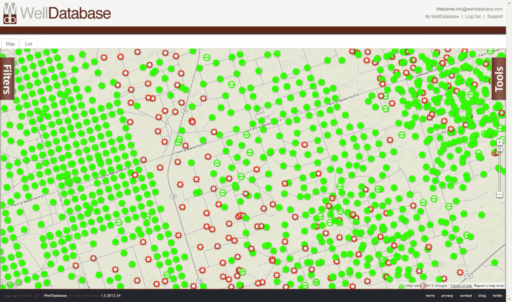
Users can now add shape file layers directly into WellDatabase. For example, you can load reservation boundaries in North Dakota and make them interactive for deeper analysis.
Interactive Elements
By enabling interactivity, you can click on specific areas, view details, and create Areas of Interest (AOI) to refine your data.
Exporting Custom Shapes
Instead of working with cluttered datasets, you can now extract only the shapes you need. If a shape file contains multiple reservations, you can isolate a single reservation, export it, and reload it as a clean, independent layer.
Leveraging Built-in Overlays
WellDatabase also supports exporting shape files from built-in overlays, such as the Bakken Isopach map. Users can extract specific geological thicknesses and utilize them for further analysis or M&A projects.
Seamless Integration
Once a shape file is exported, it can be easily reloaded into WellDatabase or used in other GIS platforms, making data management and project collaboration more efficient.
Why It Matters
- For professionals working in oil & gas, land management, or geology, handling GIS data can be complex and time-consuming. With WellDatabase’s new export feature, you can:
- Break down complex shape files into manageable, actionable data.
- Streamline M&A projects by isolating acreage positions.
- Improve lease analysis by focusing on specific areas of interest.
- Enhance data sharing with simple export and import functionality.
Watch the Full Demo
Want to see this feature in action? Watch our latest video where John Farrell walks through the process step by step. Learn how to maximize the value of your GIS data with WellDatabase’s enhanced shape file exporting.
Have questions? Reach out to our team—we’re here to help you get the most out of your WellDatabase experience.
Stay tuned for more updates as we continue to innovate and bring you powerful tools for the energy industry!
 Erin Summers